
SURVEYING • GEOMATICS • REALITY CAPTURE
Precision for Development
Parker Surveys provides cadastral, engineering, topographical and geospatial survey services for property, infrastructure and development projects. From conventional survey control to high-density reality capture, we deliver reliable spatial information ready for engineering, CAD, GIS and BIM workflows.
Cadastral • Engineering • Topographical • Laser Scanning • GNSS • GPR
SERVICES
Surveying & Geospatial Services
A single practice covering the full spatial-data chain — from boundary and control work through to high-density reality capture and engineering-ready deliverables.
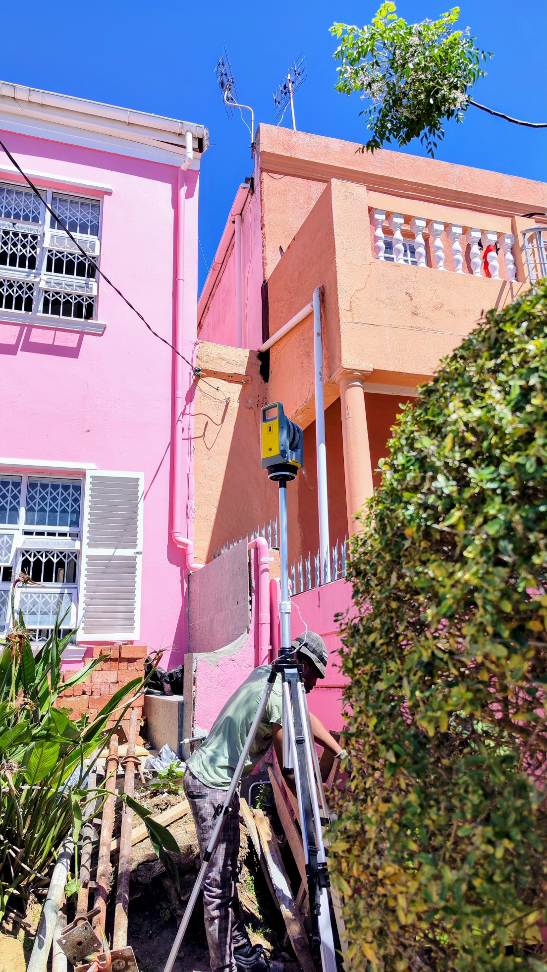
Cadastral & Property Surveys
Boundary determination, subdivision and consolidation plans, servitudes and SG submissions aligned to South African standards.
SG Diagrams • Subdivision • Servitudes
Engineering & Infrastructure Surveys
Setting out, as-built verification and monitoring for roads, utilities and structures, with deviation reporting tied back to design.
Setting Out • As-Built • Monitoring
Topographical Surveys
Dense surface models, breaklines and contours for design — delivered as DWG/DXF with control and metadata.
Contours • Breaklines • DWG/DXF
3D Laser Scanning & Reality Capture
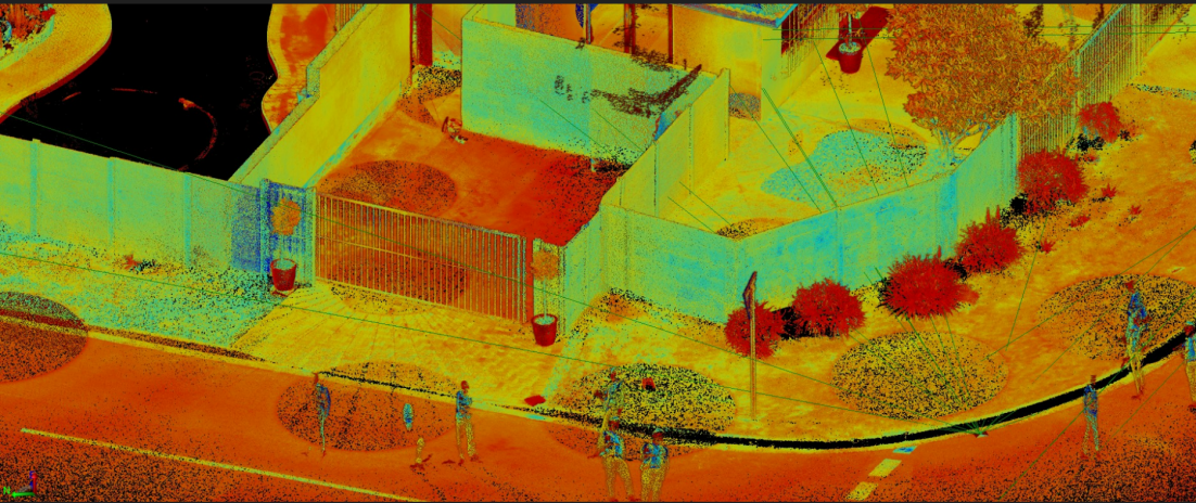
Static scanning for façades, sectional titles, bridges and plants — registered point clouds and meshed deliverables.
Point Clouds • Registration • Meshes
Survey Control & Precise Levelling
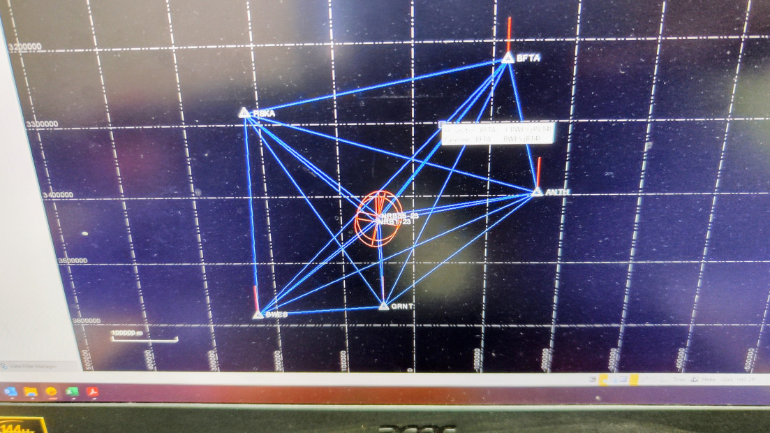
Establishment of site control and benchmarks tied to the South African coordinate system, with descriptions and sketches.
GNSS Control • Benchmarks • Levelling
GPR & Utility Investigation
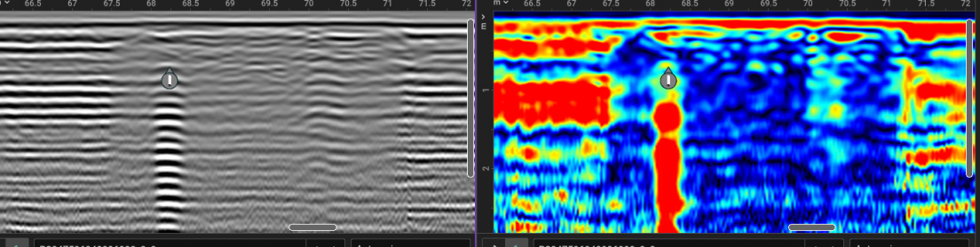
Georeferenced subsurface investigation of services and infrastructure, integrated with the survey control network.
GPR • Subsurface • Georeferenced
TECHNICAL CAPABILITY
From field measurement to usable data
Every project runs through the same disciplined sequence, so observations stay traceable and outputs move cleanly into engineering and design.
01
Capture
→
02
Control
→
03
Process
→
04
Verify
→
05
Deliver
GNSS & Total Station
Control, detail and engineering surveys.
Laser Scanning
Registered and georeferenced high-density point clouds.
GPR & Utility Investigation
Georeferenced subsurface investigation.
CAD / GIS / BIM Deliverables
Practical datasets for engineering and design workflows.
PROJECTS
Selected Projects
A snapshot of recent cadastral, infrastructure and reality-capture work delivered for consulting engineers, developers and public-sector clients.
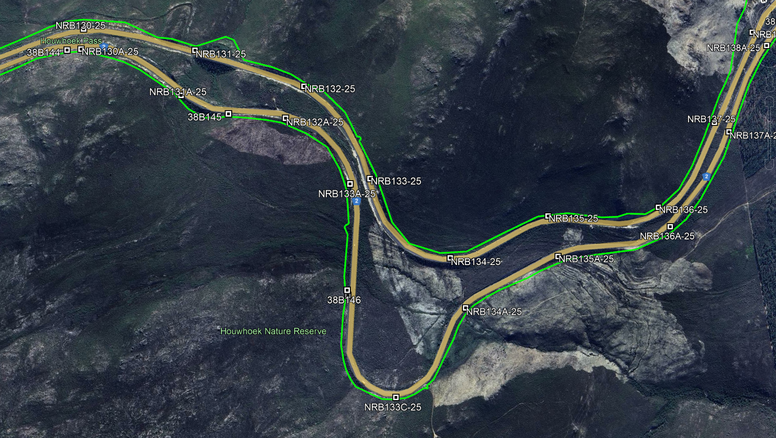
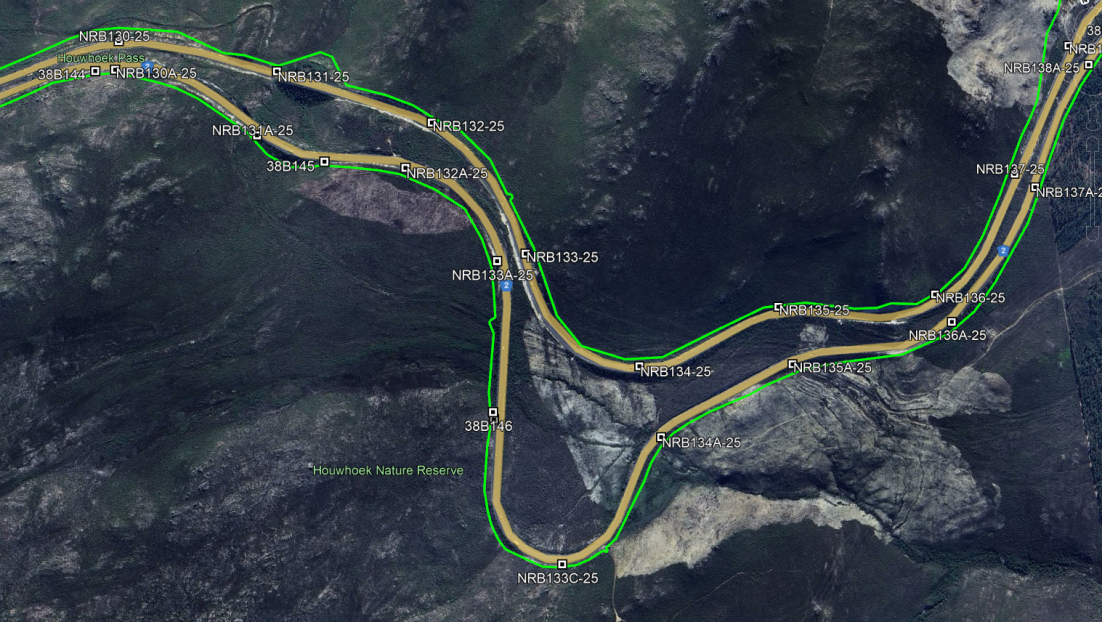
National Road Topographical Surveys
Western Cape • National Road
Topographical survey for road rehabilitation with TMH11-aligned deliverables.
Topographical Survey • Control • Levelling
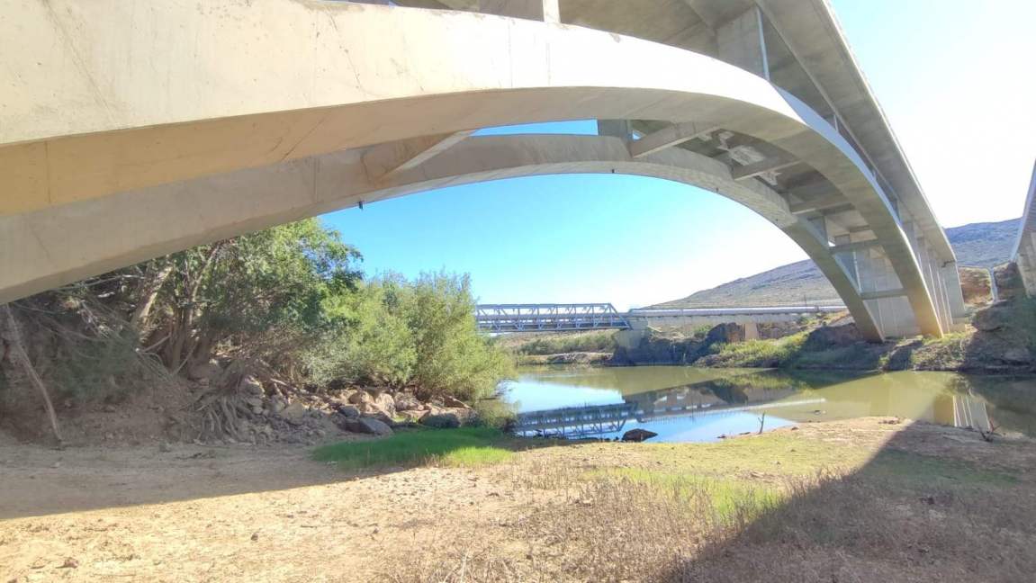
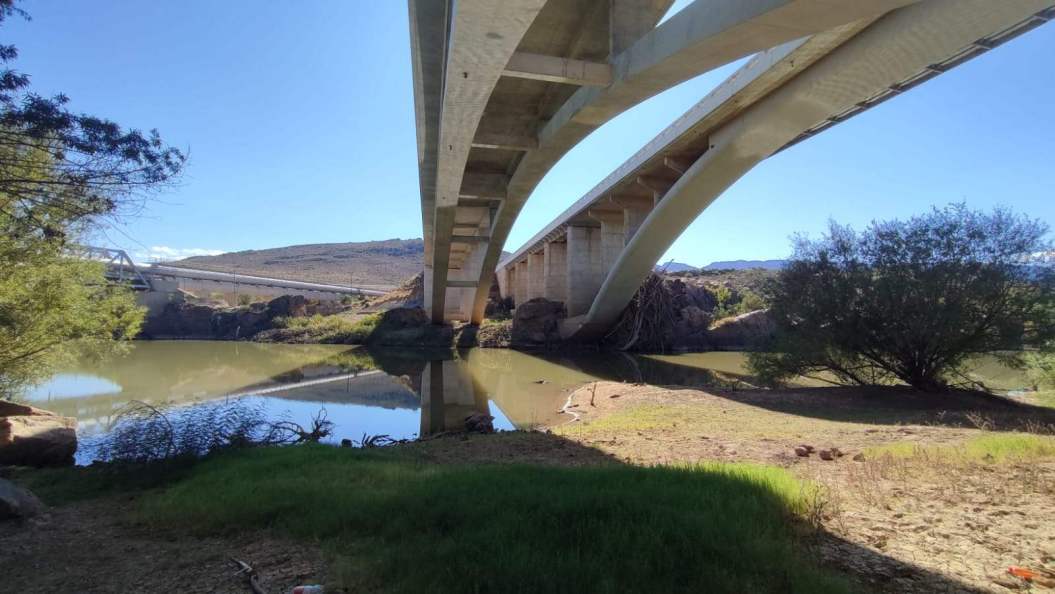
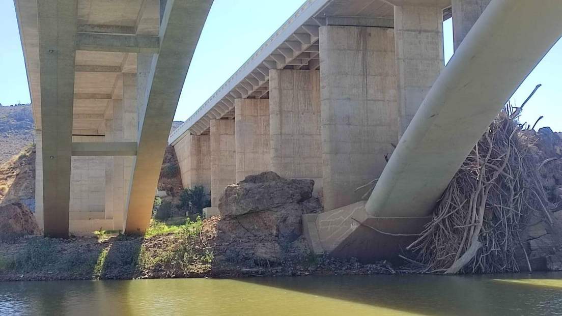
Bridge Laser Scans
Western Cape • Structures
High-density point cloud for structural assessment.
Laser Scanning
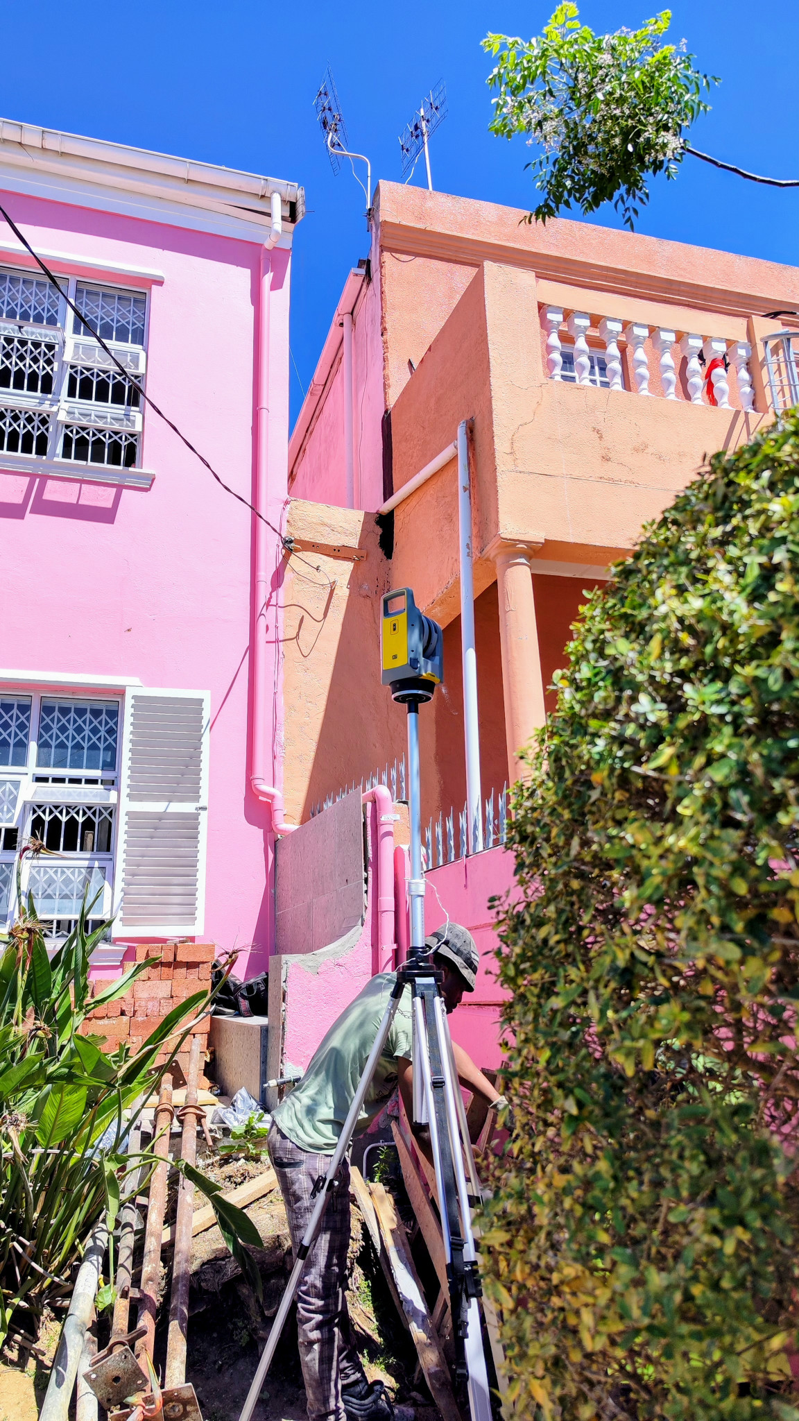
Boundary Re-establishment
Cape Town • Cadastral
Cadastral verification and SG diagram updates for subdivision.
Cadastral
ABOUT PARKER SURVEYS
Surveying with a focus on reliable control and usable data
Parker Surveys is a Cape Town-based surveying practice providing cadastral, engineering, topographical and geospatial services to consulting engineers, developers, contractors and public-sector clients.
Our work combines conventional land surveying with modern spatial-data workflows, including GNSS control, precise levelling, terrestrial laser scanning and georeferenced subsurface investigation.
We place particular emphasis on reliable survey control, traceable field observations and practical deliverables that can move efficiently into engineering, CAD, GIS and BIM environments.
Have a project in mind?
Send your scope and drawings — we'll confirm control, deliverables and timelines, and return a clear fee proposal.

© 2025 Parker Surveys. All rights reserved.