
SERVICES
Surveying & Geospatial Services
A single practice covering the full spatial-data chain — boundary and control work through to high-density reality capture and engineering-ready deliverables.
Cadastral • Engineering • Topographical • Laser Scanning • GNSS • GPR

Cadastral & Property Surveys
Boundary determination, subdivision and consolidation plans, servitudes, SG diagrams and general plan updates — with clear beacon reports and coordinate lists aligned to South African standards.
SG Diagrams • Subdivision • Servitudes
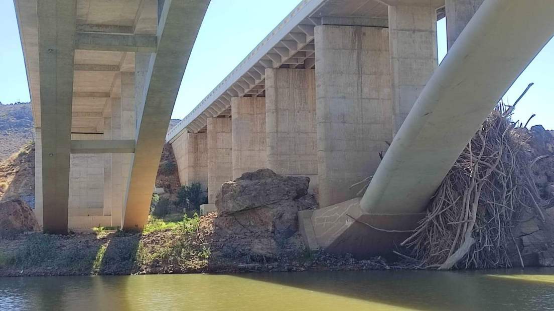
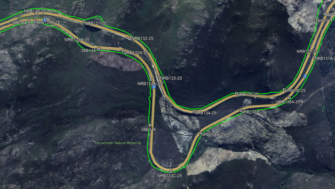
Engineering & Infrastructure Surveys
Setting out, as-built checks and monitoring for roads, pipelines and structures, with clear deviation reporting tied back to design.
Setting Out • As-Built • Monitoring
Topographical Surveys
Detailed terrain and feature capture for design — kerbs, services, road furniture, utilities, breaklines and contours — with consistent layers and codes for CAD and GIS.
Contours • Breaklines • DWG/DXF
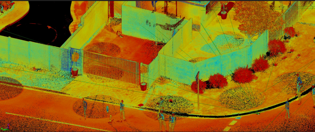
3D Laser Scanning & Reality Capture
Static scanning for façades, sectional titles, bridges and plants — registered point clouds, sections and 3D meshes as required.
Point Clouds • Registration • Meshes
Survey Control & Precise Levelling
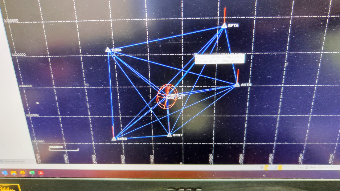
Establishment of site control and benchmarks tied to the South African coordinate system, with descriptions and sketches.
GNSS Control • Benchmarks • Levelling
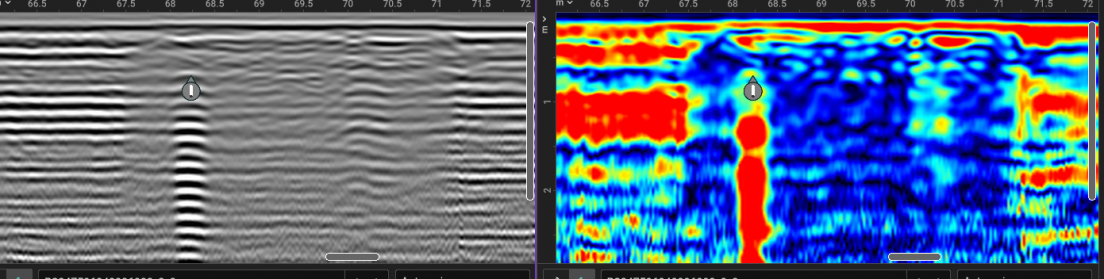
GPR & Utility Investigation
Georeferenced subsurface investigation of services and infrastructure, integrated with the survey control network.
GPR • Subsurface • Georeferenced
Have a scope or BOQ?
Send your drawings and brief — we'll confirm control, deliverables and timelines.

© 2025 Parker Surveys. All rights reserved.