
PROJECTS
Projects & Survey Work
Examples from our cadastral, infrastructure and reality-capture portfolio for municipalities, national roads, consulting engineers and developers.
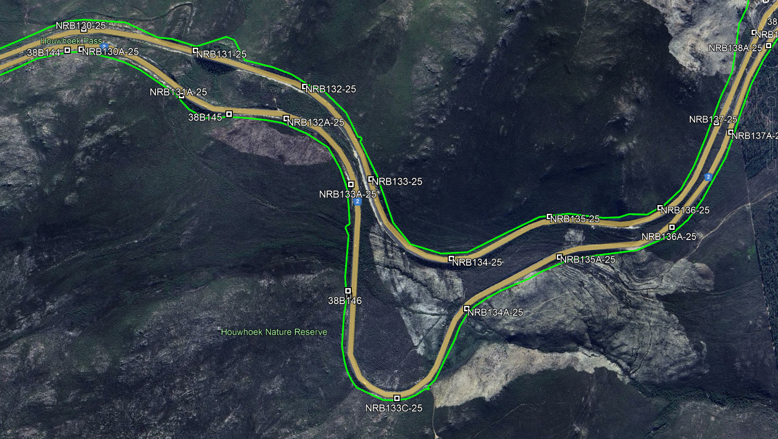
National Road Upgrade
Western Cape • National Road
TMH11-coded topographical and control survey for design and rehabilitation planning.
Topographical Survey • Control • Levelling
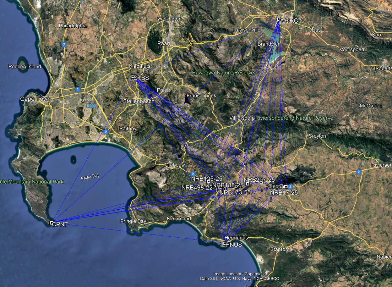
City IRT Corridor Upgrades
Cape Town • Transport Corridor
Cadastral verification and servitude mapping across multiple parcels.
Cadastral • Engineering
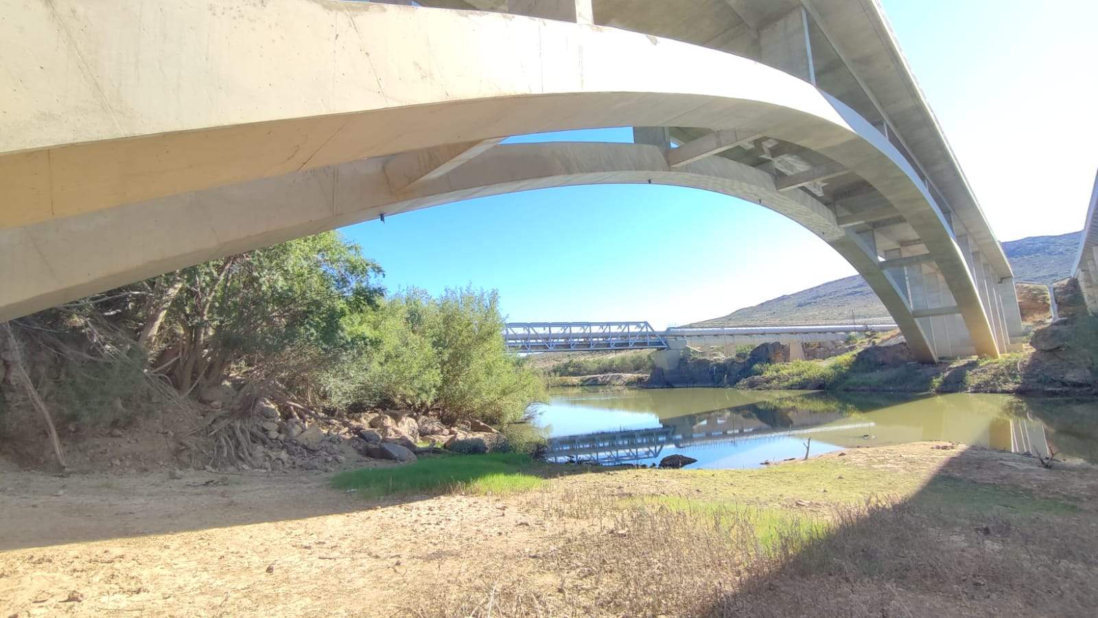
Bridge Scan
Western Cape • Structures
Laser scanning and as-built model for structural assessment.
Laser Scanning
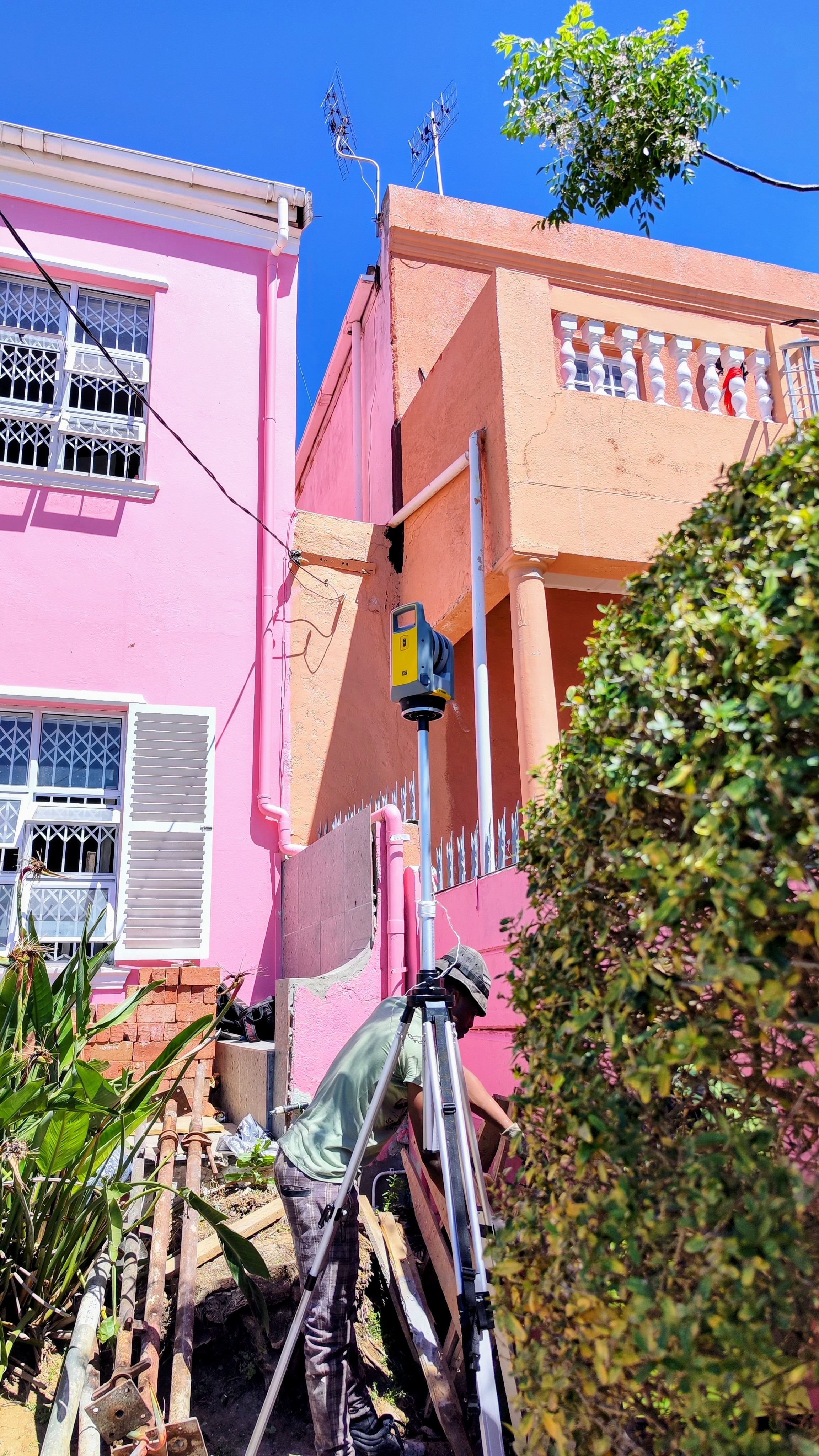
Subdivision & Consolidation
Cape Town • Cadastral
SG diagrams and general plan updates with beacon reports.
Cadastral
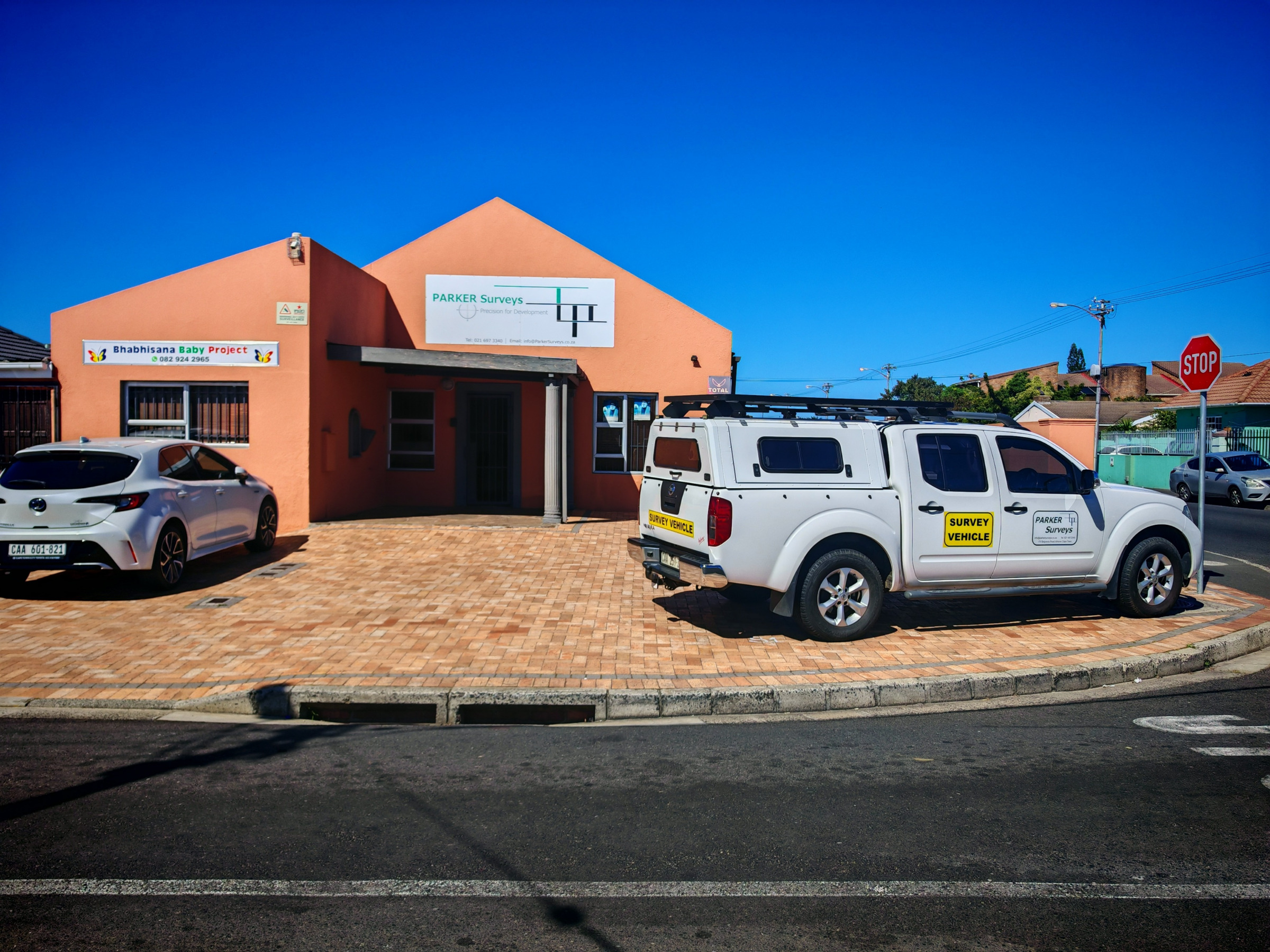
Industrial Site As-Built
Cape Town • Industrial
As-built verification, control and deliverables in DWG/DGN and CSV.
Engineering • Control
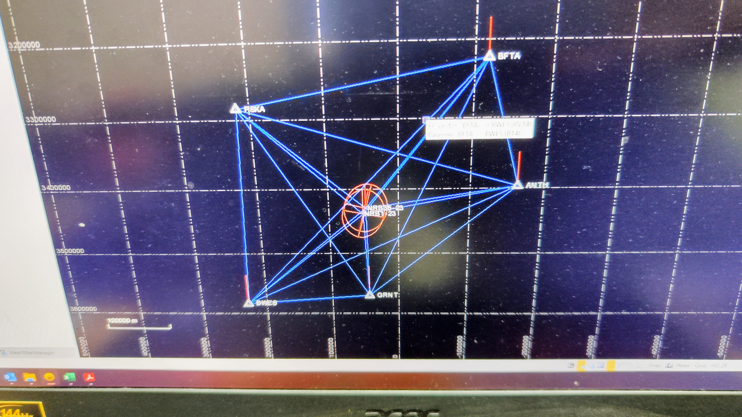
Construction Setting Out
Western Cape • Construction
Staking and setting out on construction projects.
Engineering

© 2025 Parker Surveys. All rights reserved.